Precision-Driven
Geoscience Excellence
Unlock subsurface potential with cutting-edge analysis, advanced interpretation, and proven methodologies that drive exploration success and maximize field development.
Technical Capabilities
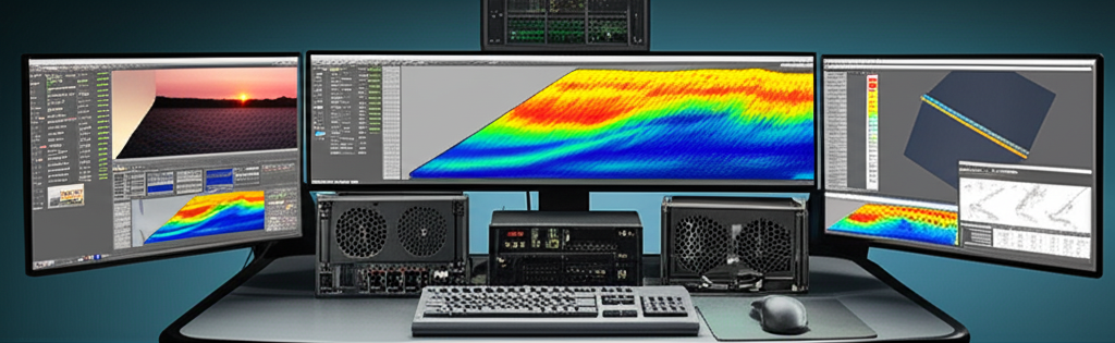
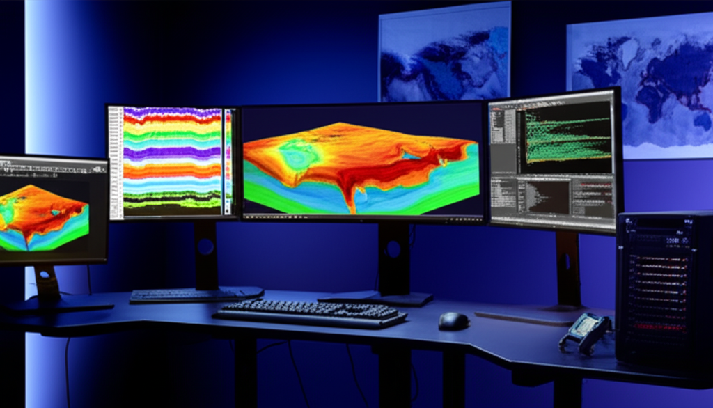
Advanced Software & Technology
Industry-leading seismic processing software (Petrel, Kingdom, OpendTect)
Advanced attribute analysis and machine learning algorithms
High-performance computing clusters for complex processing
Cloud-based collaboration and data management platforms

Computing Infrastructure
State-of-the-art HPC clusters for complex data processing
Software Suite
Industry-standard geoscience applications and tools

Cloud Platform
Secure cloud-based data management and collaboration
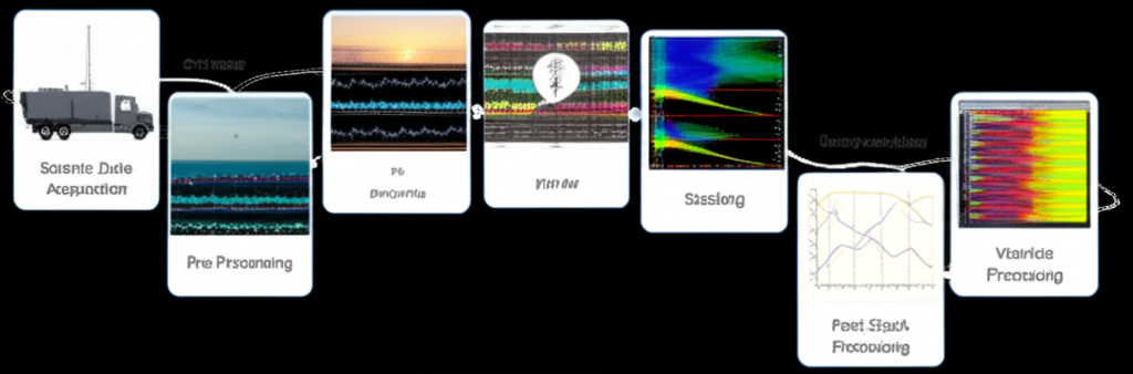
Our Proven Workflow for Reliable Results
A systematic approach that ensures consistent quality and maximizes project success rates.
Data Acquisition & QC
Comprehensive quality control and validation of all incoming datasets to ensure data integrity and completeness before processing begins.
Pre-Processing & Conditioning
Advanced noise removal, geometry correction, and signal enhancement using state-of-the-art processing algorithms.
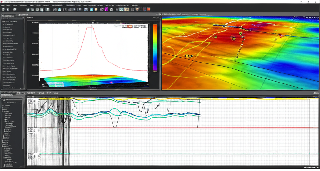
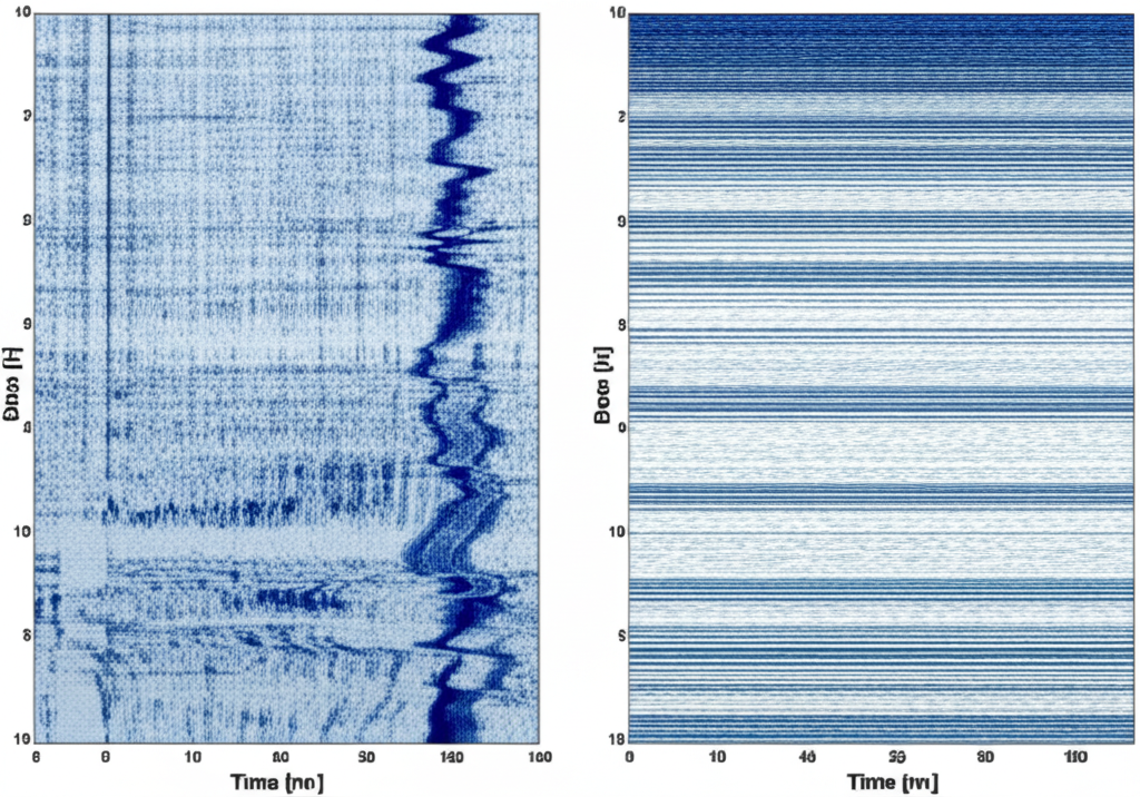
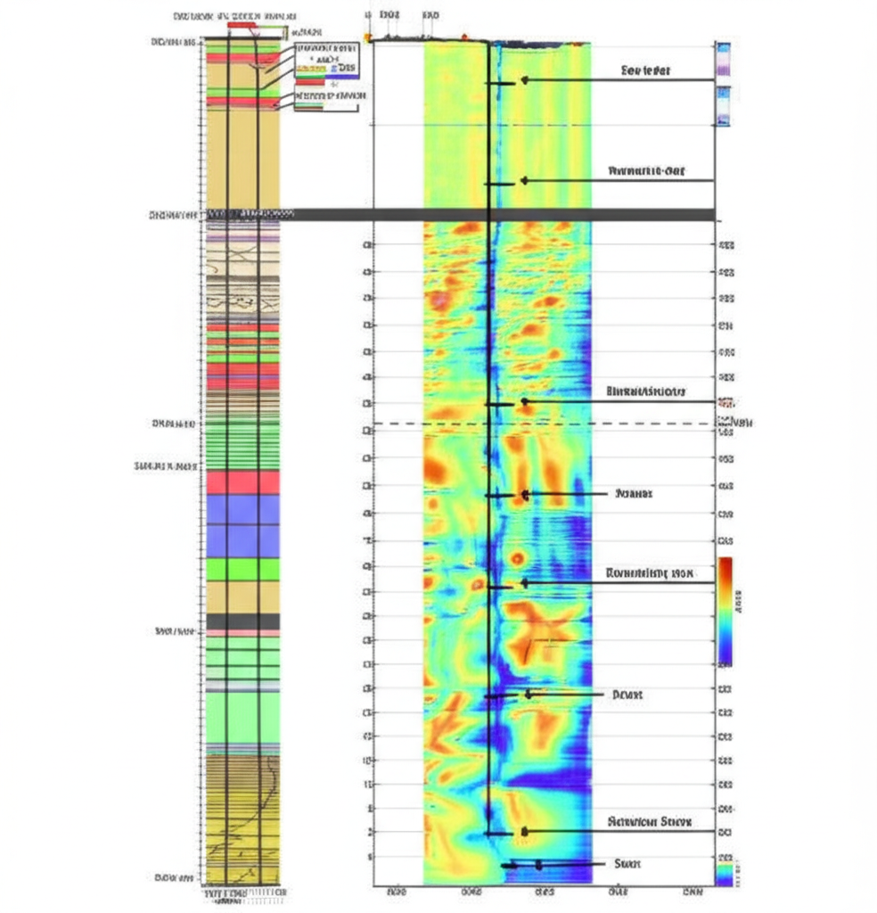
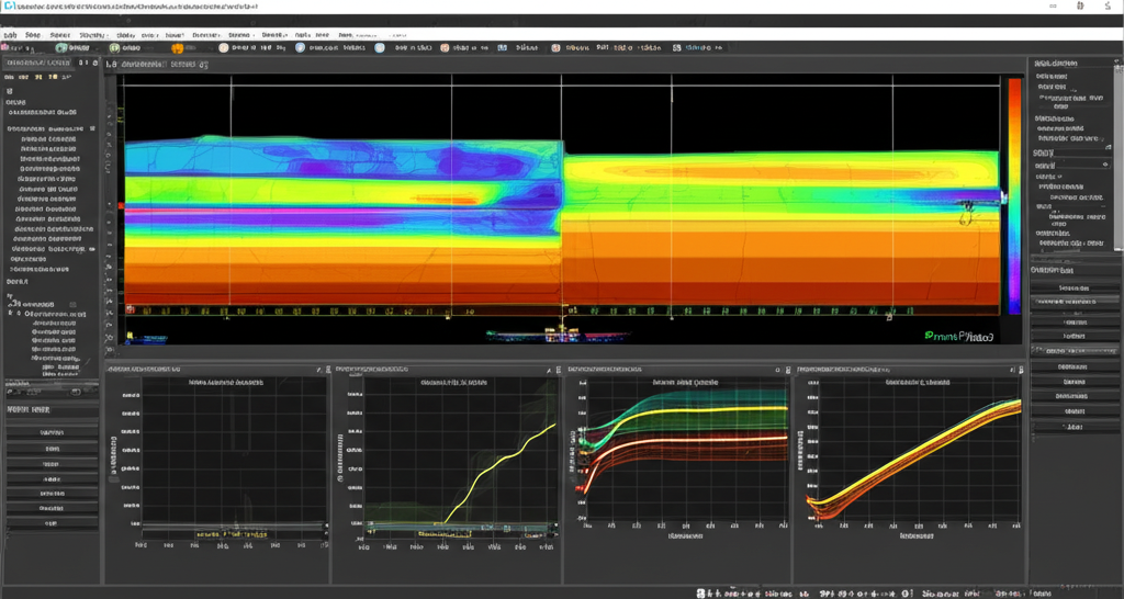
Seismic Imaging & Attribute Generation
High-resolution subsurface imaging and specialized attribute extraction for enhanced geological interpretation.
Integrated Interpretation
Multi-disciplinary analysis combining seismic, well, and geological data for comprehensive reservoir understanding.
Final Deliverables & Review
Comprehensive reporting with industry-standard formats, technical documentation, and client presentation.
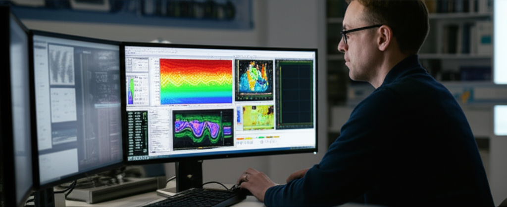
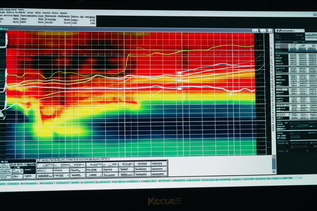
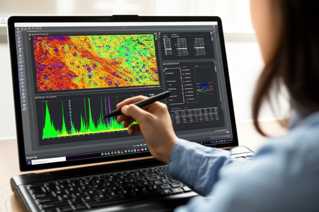
Data Analytics & Visualization
Seismic Attribute Analysis
Advanced attribute extraction and analysis for enhanced geological interpretation.
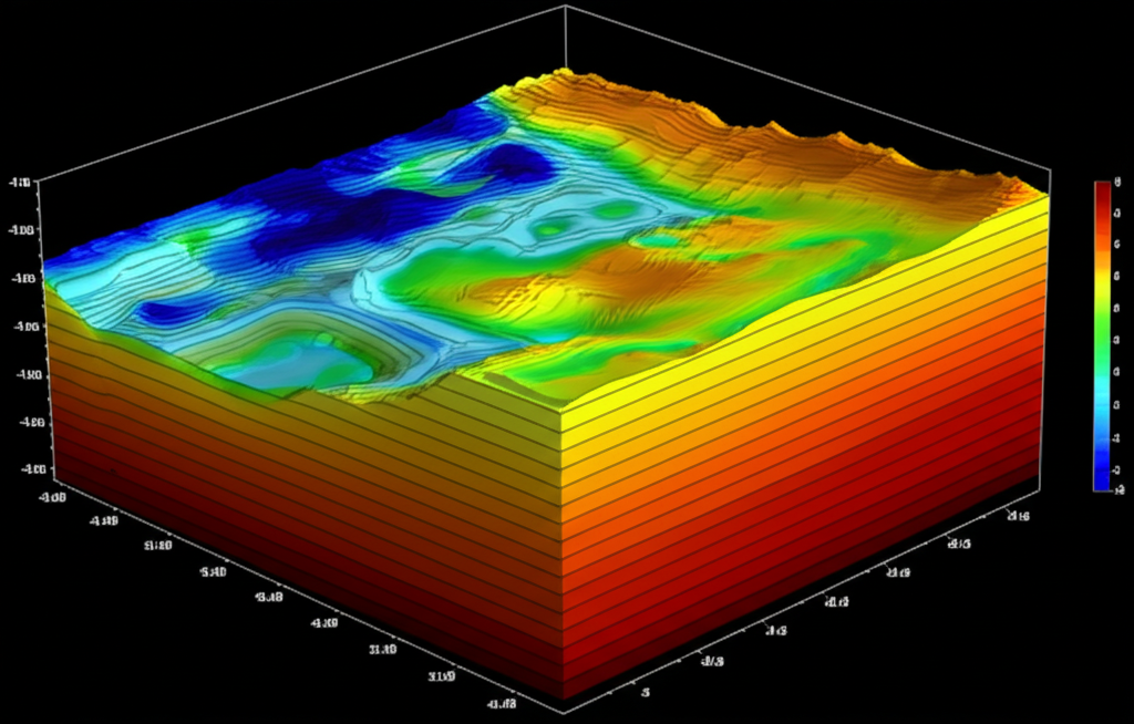
3D Geological Modeling
Comprehensive 3D models integrating seismic, well, and geological data.
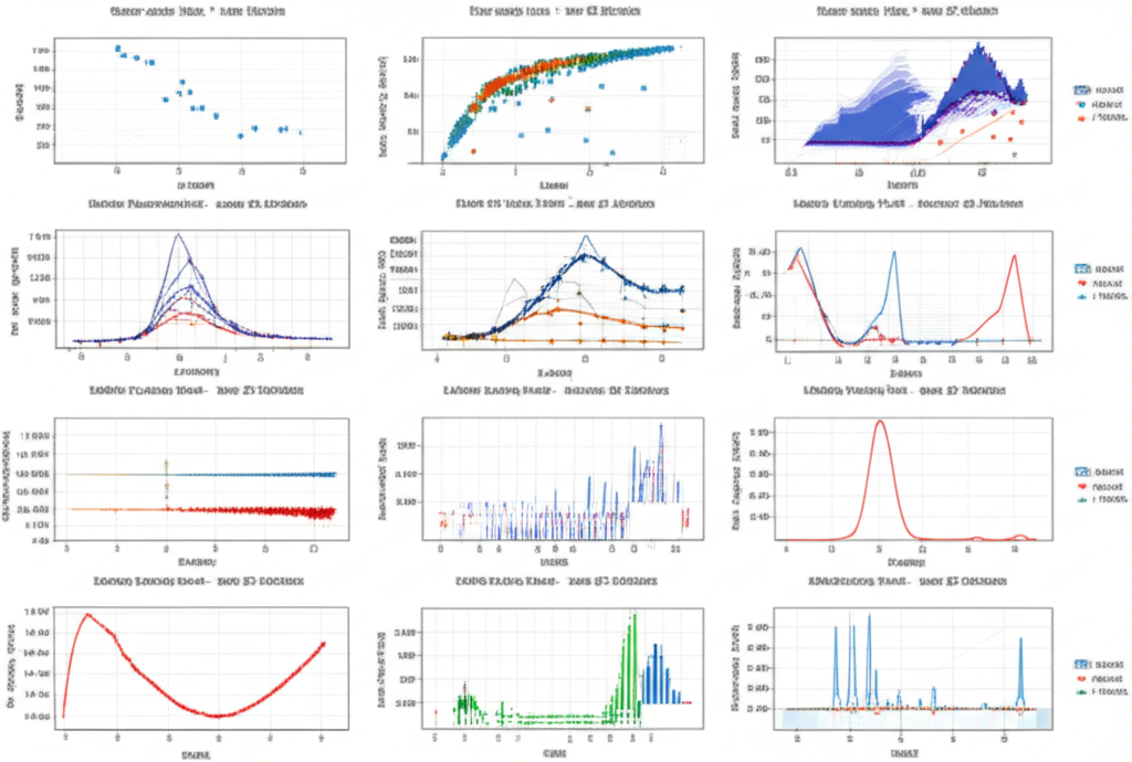
Statistical Analysis
Quantitative analysis and uncertainty assessment for risk evaluation.
Special Projects & Case Studies
From complex faulted reservoirs to unconventional plays, we have delivered actionable insights for clients worldwide.

Deepwater Fault Mapping
Improved drilling safety and well placement through advanced fault system analysis.
AVO Analysis in Frontier Basin
Identified new hydrocarbon indicators using advanced amplitude analysis techniques.
Integrated Well & Seismic Study
Reduced field development risks through comprehensive data integration.
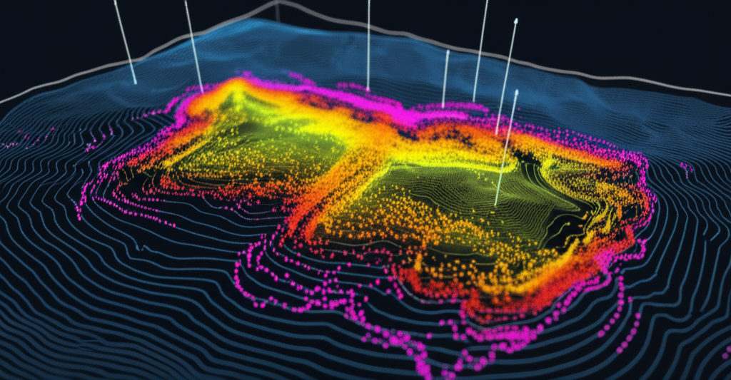
Remote Sensing & Geological Mapping
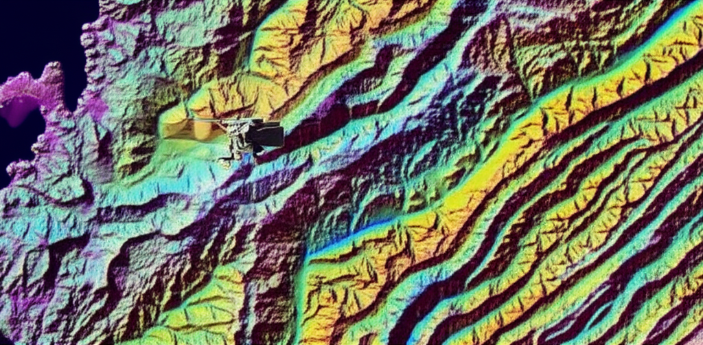
Advanced Remote Sensing Capabilities
Satellite Data Integration
Multi-spectral and hyperspectral satellite imagery analysis for geological mapping and mineral exploration.
LiDAR Processing
High-resolution topographic analysis and structural geology interpretation from airborne LiDAR data.
Geological Mapping
Detailed geological and structural mapping using integrated remote sensing and field data.
Hyperspectral Analysis
Advanced spectral analysis for mineral identification
LiDAR Processing
High-resolution topographic and structural analysis

Field Mapping
Integrated field and remote sensing geological mapping
Technical Modeling
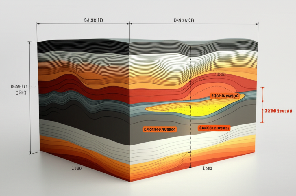
Advanced Geological Modeling
Structural and stratigraphic framework modeling
Reservoir property distribution and uncertainty analysis
Seismic inversion and rock physics modeling
Integrated geophysical and geological interpretation
Seismic Inversion & Rock Physics
Advanced inversion techniques for reservoir characterization
Uncertainty Analysis
Quantitative risk assessment and uncertainty modeling
Certifications & Professional Associations
American Association of Petroleum Geologists
Society of Exploration Geophysicists
Society of Petroleum Engineers
Society of Petrophysicists and Well Log Analysts

Quality Assurance
ISO certified processes and quality management
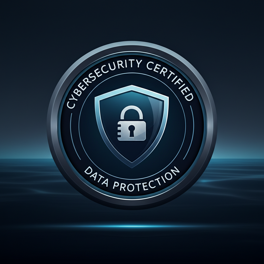
Data Security
Certified data protection and cybersecurity protocols

Environmental Compliance
Environmental management and sustainability standards
About Fennec Geosciences

Mission
To deliver innovative, reliable geoscience solutions that maximize exploration success and field development efficiency for our clients worldwide.
Vision
To be the trusted partner of choice for geoscience consulting, recognized for technical excellence, innovation, and commitment to client success.
Values
Integrity – Highest ethical standards
Quality – Precise, reliable results
Innovation – Cutting-edge technology
Expertise – Decades of experience
Our Leadership Team

Dr. Sarah Johnson
Senior Geophysicist & Founder
30+ years in seismic interpretation

Michael Chen
Lead Petroleum Geologist
25+ years in reservoir characterization

FAQ's

How do you ensure data security?
We maintain strict confidentiality protocols with secure data transfer, encrypted storage, and signed NDAs for all projects.
What is your typical project timeline?
Project timelines vary based on scope and complexity, typically ranging from 2-12 weeks for standard interpretations to 3-6 months for comprehensive studies.
Do you work with international clients?
Yes, we serve clients globally and have experience working across different time zones and regulatory environments.

Secure Data Handling
Enterprise-grade security for all client data

24/7 Support
Round-the-clock technical support and consultation
Ready to Start Your Project?
Let's discuss how our geoscience expertise can drive your exploration success. Get in touch with our team today.
Contact Information
Fennec Geosciences Services LLC
30 N Gould St Ste R
Sheridan, WY 82801
info@fennecgeo.com
+1 (734) 278-8998
Monday - Friday: 8:00 AM - 6:00 PM MST
Emergency Support: 24/7